

Salah Al Din Metro Station 1 , 2 DUBAI | Map and Location
Salah Al Din Metro Station in Dubai is actually two separate stations, conveniently named 1 and 2. Both stations sit on the Green Line of the Dubai Metro and offer easy access to different parts of the city. Station 1 is close to Deira City Centre mall and Dubai Creek, while Station 2 is near Reef Mall and Al Ghurair Centre. No matter which station you choose, you’ll have access to buses, taxis, and ride-hailing services for further exploration.
- Salah Al Din station is on the Green Line (Etisalat – Creek) of Dubai Metro.
| Preceding station | |
|---|---|
| Abu Baker Al Siddique. | Union. |
- Closest: Al Rigga: 0.8 km / 0.5 mi
- Union: 0.9 km / 0.6 mi
- Within 2 km: Abu Baker Al Siddique: 1.2 km / 0.7 mi
- Baniyas Square: 1.4 km / 0.9 mi
- Further away: Deira City Centre: 1.9 km / 1.2 mi
- Palm Deira: 2.1 km / 1.3 mi
- BurJuman: 2.4 km / 1.5 mi
- Location: Salah Al Din Street, Al Muteena, Dubai, UAE
- Coordinates: 25.27032°N 55.32083°E
- Operator: Dubai Metro
- Line: Green Line
- Number of platforms: 2
- Number of tracks: 2
- Connections: RTA Dubai buses
- Station code: 19
- Fare zone: 5
- Opened: September 9, 2011
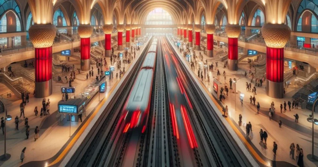
Table of Contents
Map of salah al din metro station
Popular routes from Salah Al Din Metro Station, Dubai
- From Salah Al Din Metro Station to Zayed University – Knowledge Village Campus: 26.3 km, 29 mins by car.
- From Salah Al Din Metro Station to Abu Dhabi: 148 km, 1 hour 30 mins by car.